
International charts - v3.20
International Charts
Nautical chart imagery has been added for Canada, Australia, New Zealand, and Norway.
Each country, and sometimes different regions within each country may use different datums for establishing the zero reference point for depth measurements. For example, coastal USA depths are measured relative to mean lower low water (MLLW) in feet.
Charts for almost all of the rest of the world use metric units.
Coastal Canadian waters measure depths relative lower low water, large tide (LLWLT), while depths in the Great Lakes are referenced to International Great Lakes Datum (IGLD).
Definitions: Chart datums
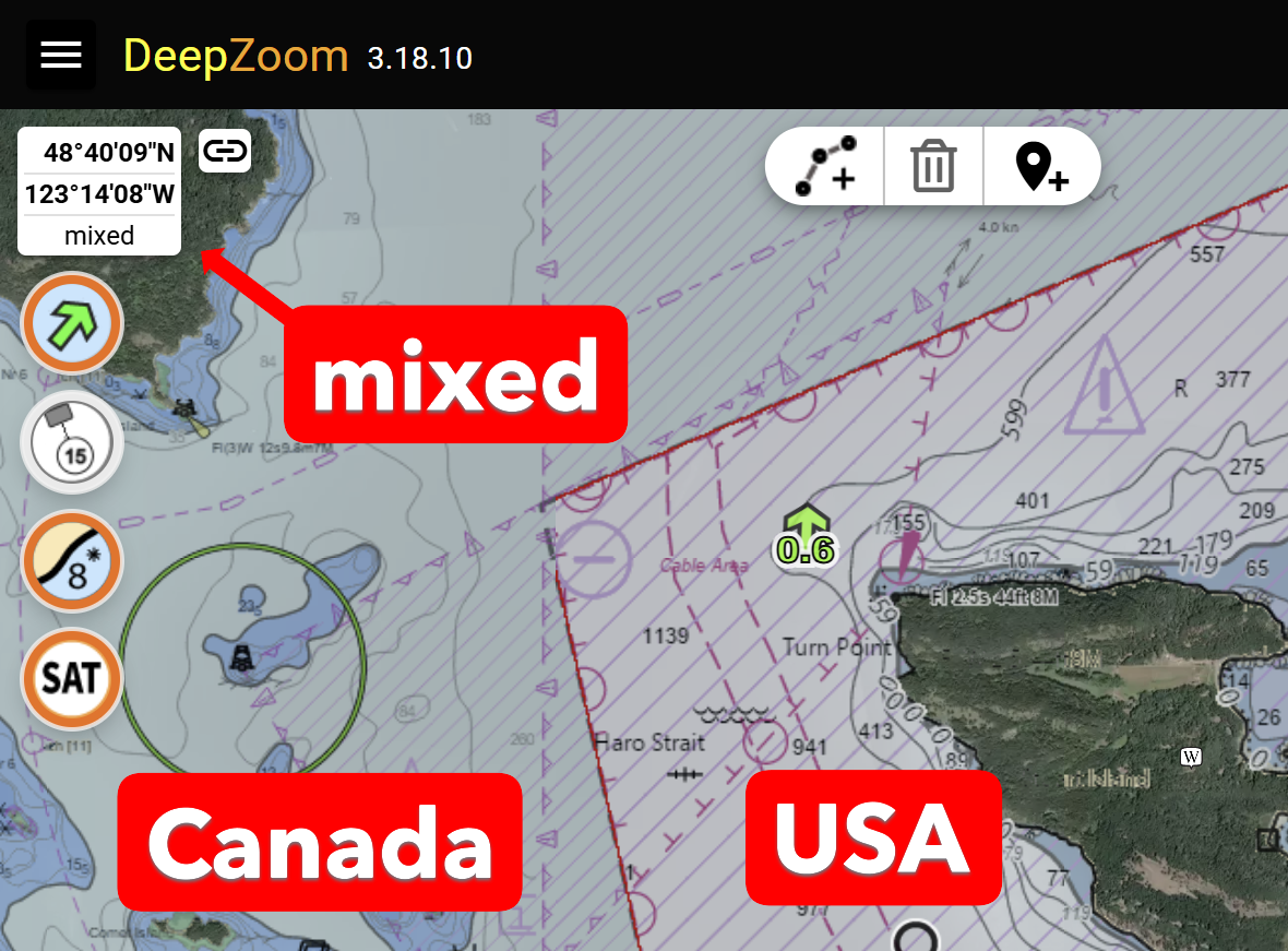
When DeepZoom displays chart areas with differing units, the units are shown as mixed, as below.
USA Tides and currents refresh
All of the USA tides and currents are now updated to the latest NOAA December 2025 data release. Tide and current data is available between the dates of 2020.01.01 through 2040.12.31 inclusive.
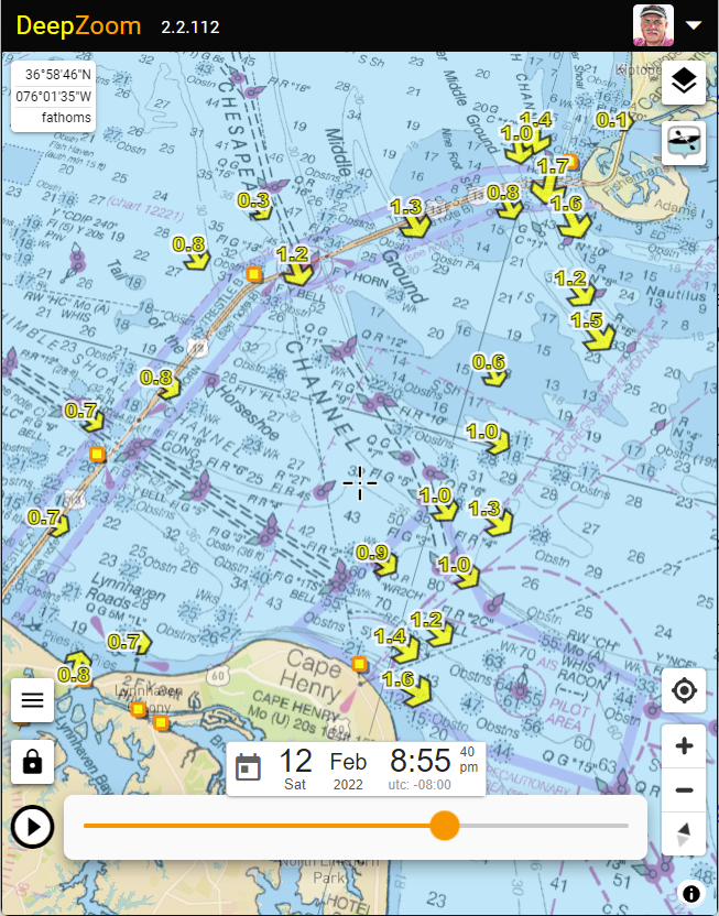
Thanks, as always to David Flater (xtide) for collecting and publishing the .tcd files which I use to generate the the millions of tide fragment files which enables DeepZoom’s rapid display.
International tide stations, NOT!
I attempted to add International tides using TICON-4 harmonics, but gave up when the results seemed close, but not close enough. See: (Github: deepzoom-ticon4). Just figuring out which of the differing online tidal websites was authoritative is the first hurdle. Then there is a dearth of information regarding datum and active time zone. So verification proved challenging.
If you feel like hacking away at the TICON-4 code, I’d be delighted to help!
Magnetic Variation update
DeepZoom optionally displays the magnetic heading for each leg of a route (see the Settings page). The model used to compute this value has been updated to the World Magnetic Model 2025-2030. (NOAA)